Trump posted a map with Canada annexed to the U.S. on his social media account
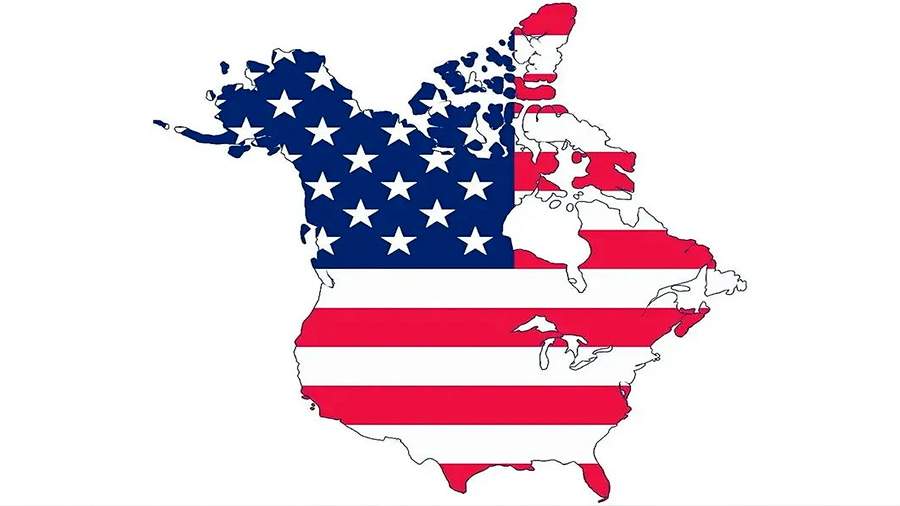
On January 7, US President-elect Donald Trump published a map with Canada annexed to the United States on his social network Truth Social.
In the image, the territory of Canada is painted in the same color as the United States. The map is labeled with the black color "United States."
At the same time, Mexico is marked in a different color on Trump's image.
Canadian Prime Minister Justin Trudeau on the same day rejected Trump's proposal to make Canada the 51st state of the United States. Trudeau emphasized that Canada and the U.S. are critical partners in trade and security and the people of both countries benefit from such cooperation.
Trump voiced the suggestion that Canada could become a new U.S. state during a meeting with Trudeau on Dec. 3. At the time, he added that the accession could materialize if Ottawa fails to address illegal migration and drug smuggling.
Later on Dec. 10, the president-elect of the United States said Canada and Mexico could become U.S. states. The CBC television channel reported on December 17 that Canada would spend $900 million to secure its border with the United States.
In addition, during his Christmas address on December 25, Trump promised to halve taxes for Canadian citizens if Canada becomes the 51st state of the United States. In addition, in this speech, the president-elect wished Trudeau a Merry Christmas, calling him not the prime minister, but the governor of Canada.
Doug Ford, the prime minister of the Canadian province of Ontario, offered to purchase Alaska on Jan. 7 amid Trump's announcement. Ford added that under his watch, Canada's annexation to the U.S. would not happen.
Переведено сервисом «Яндекс Переводчик»
